Andamooka Opal Fields
A LITTLE HISTORY
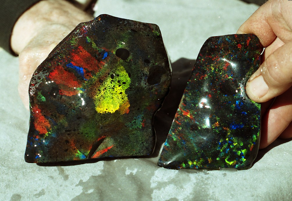
The opal was discovered in “floaters” after an outback thunderstorm at what is known as one-tree hill or Treloars Hill by Sam Brooks and Roy Shepherd. They took the stones to the station owner at Andamooka Homestead, a Mr Foulis. The first miners were Treloar and Evans who in 1933 produced about ₤962 worth of stones.
A LITTLE GEOGRAPHY
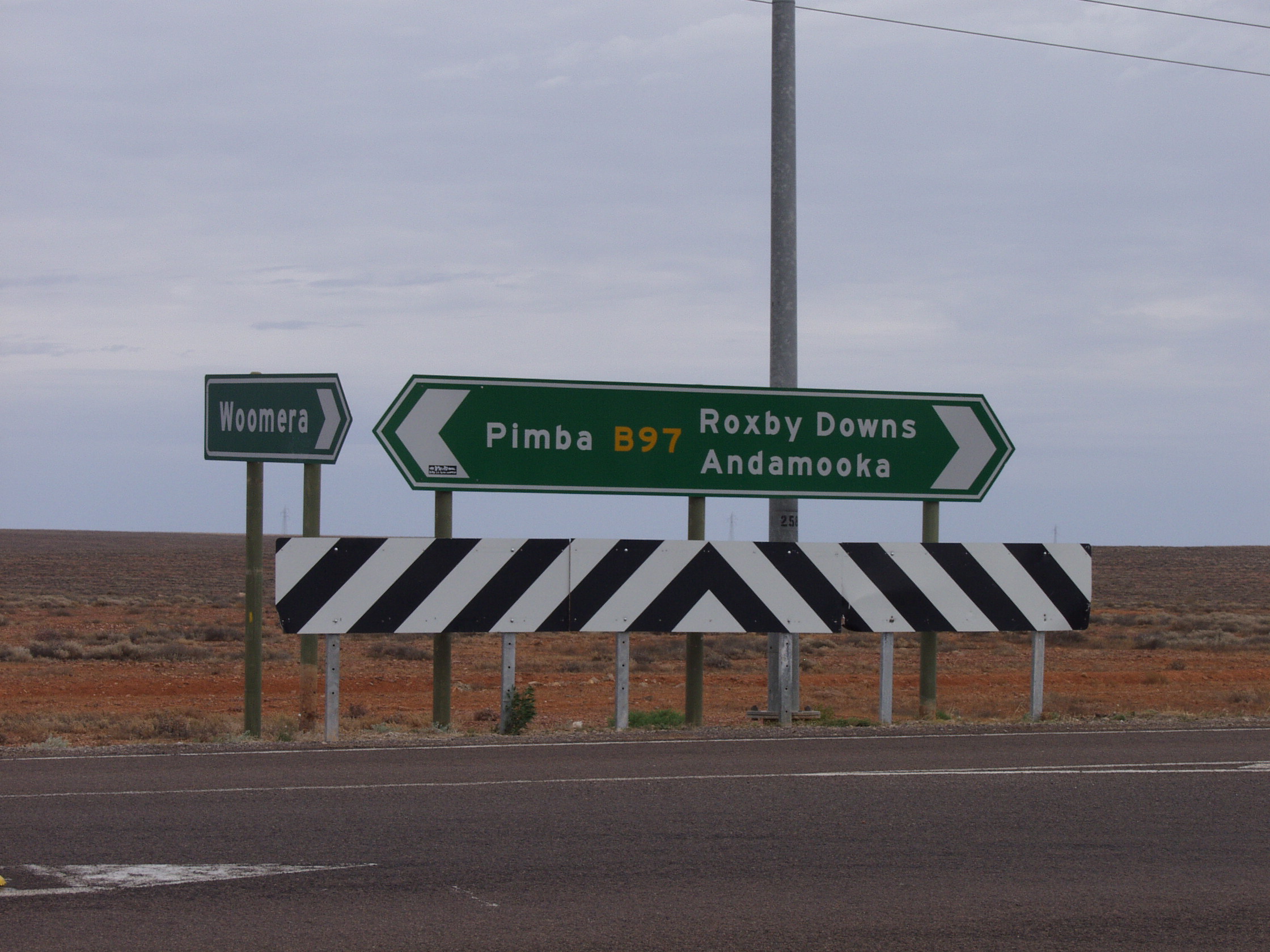
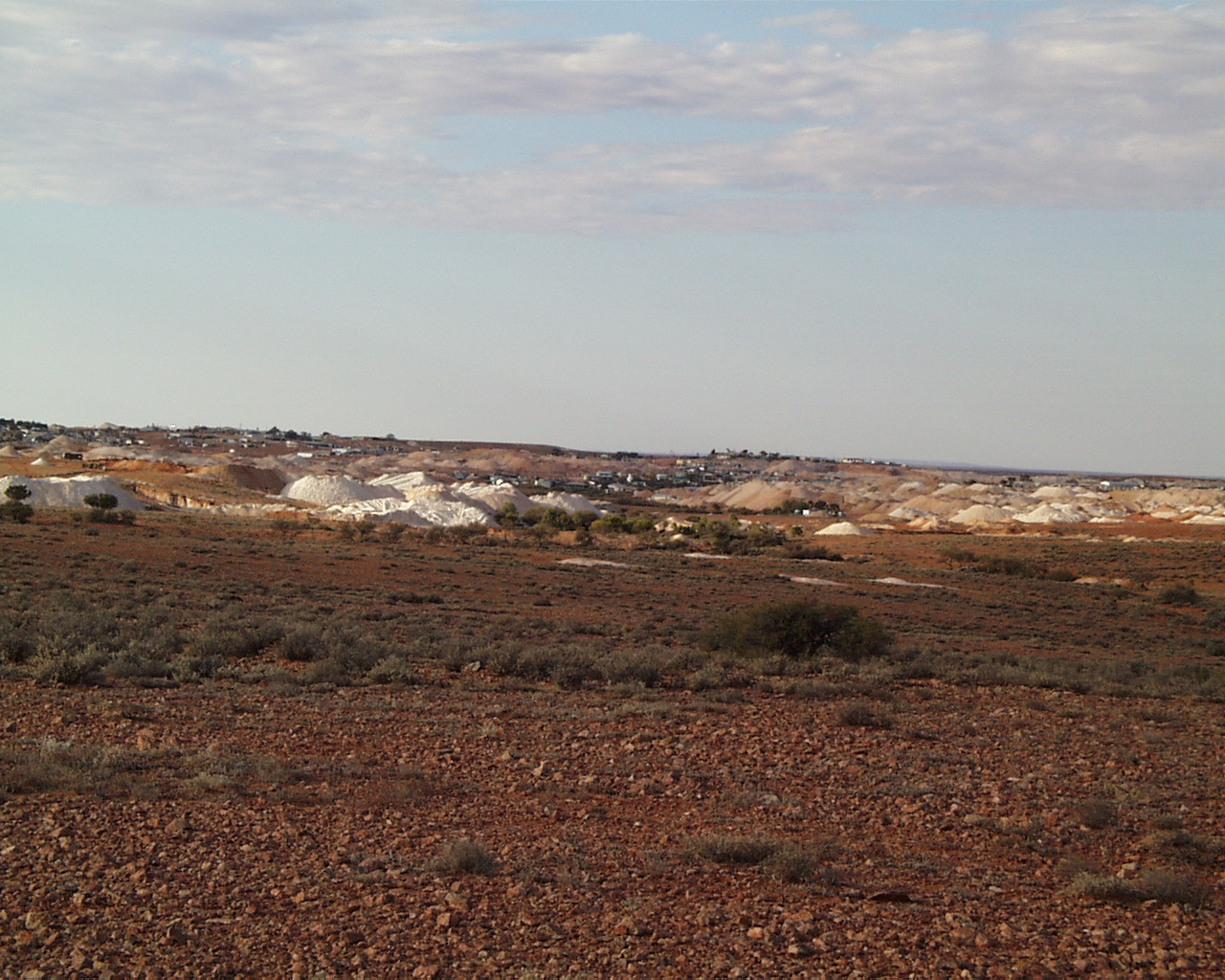
Andamooka township is located 640 kilometres by road north of Adelaide and approximately 110 kilometres north east from Woomera on the road to Roxby Downs and almost on the western shore of Lake Torrens in South Australia.
A LITTLE GEOLOGY
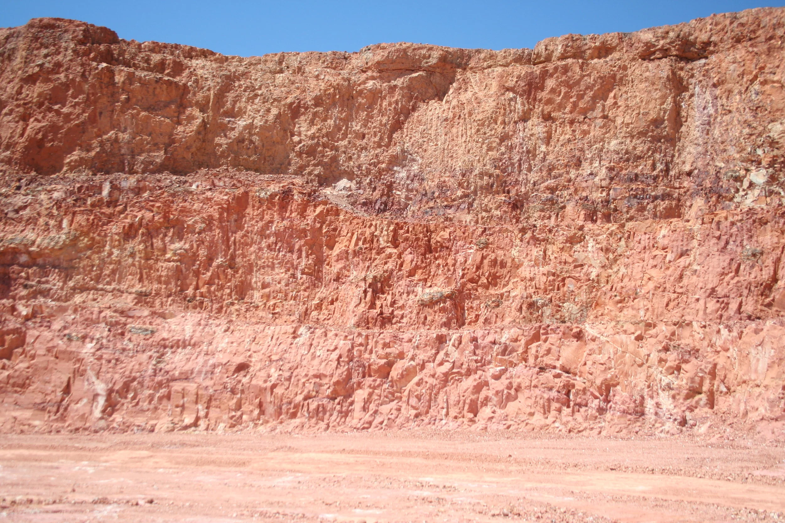
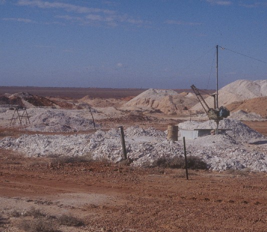
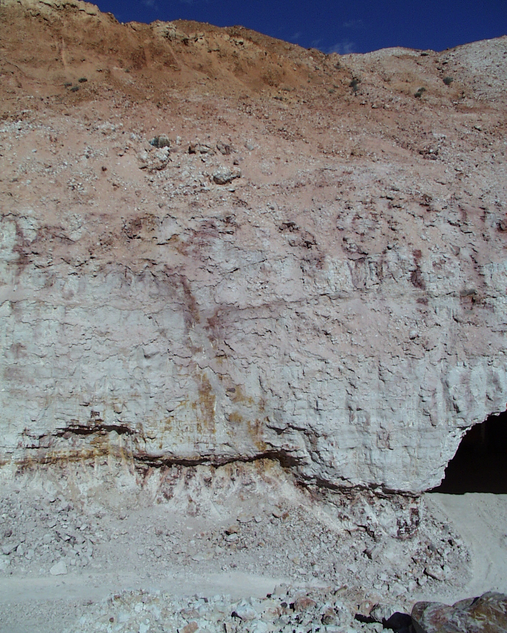
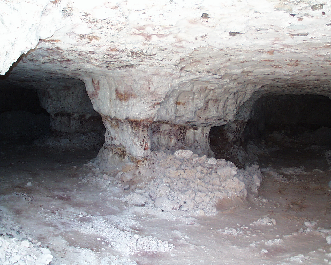
The Andamooka precious stones field is a smaller group of workings south of Coober Pedy near the edge of Lake Torrens. The occurrence of opal at Andamooka as in Coober Pedy is associated with the Bulldog Shale. The Bulldog Shale is a part of the Marree Subgroup and is of Early Cretaceous age. The Marree Subgroup at Andamooka is a shallow marine sequence that has been divided into three main sub-units. The top sub-unit is called ‘kopi’ (a name unique to Andamooka) and is a slightly sandy claystone. Its colour is white or pale yellow. It is a slightly porous rock derived from the intense weathering and bleaching of the original claystone. The ‘kopi’ is estimated to have been up to 30m in thickness prior to erosion; however, the typical thickness presently found on the fields is 7 – 13m.
At the base of the sub-unit is the ‘conglomerate band’ which is found extensively throughout the precious stones field and is immediately below the ‘kopi’. The conglomerate band is a sandy boulder bed that contains numerous pebbles, cobbles and boulders of pre-Mesozoic rocks. The contact between the conglomerate band and the underlying ‘mud’ generally defines the ‘level’ at Andamooka and is the prospective horizon for opal. It also represents the separation of the top and middle sub-units of the profile. The middle or second sub-unit is known as the ‘mud’ in Andamooka and is a light brown, grey or yellow claystone with low sand content. It has a thickness of up to 4m. Mineralogically, the ‘mud’ is a claystone similar to the ‘kopi’ although with a higher clay content (predominantly montmorillonite) and is less weathered.
The basal and third sub-unit comprises a layer up to 4m thick of pale yellow to red and brown pebbly silt referred to as ‘bulldust’ which may contain boulders up to a metre in size of pre-Mesozoic Arcoona quartzite. The third sub-unit is not found as extensively in the mine workings. Where it is found, it overlies the Algebukina Sandstone, a coarse ferruginous sandstone at the base of the profile. Small scale faults (called slides or slips by miners) and which have a throw of approximately 2m occur throughout the Bulldog Shale. There are many miners’ stories regarding the association of precious opal with these structures, although sound geological evidence for the association is not available. A possible correlation between the lineaments at Lightning Ridge and similar structures at Andamooka or Coober Pedy has not yet been identified (Barnes et al. 1992; Robertson & Scott 1990).

A geological map of the Andamooka precious stones field Dept. Minerals and Energy SA, Handbook No.5
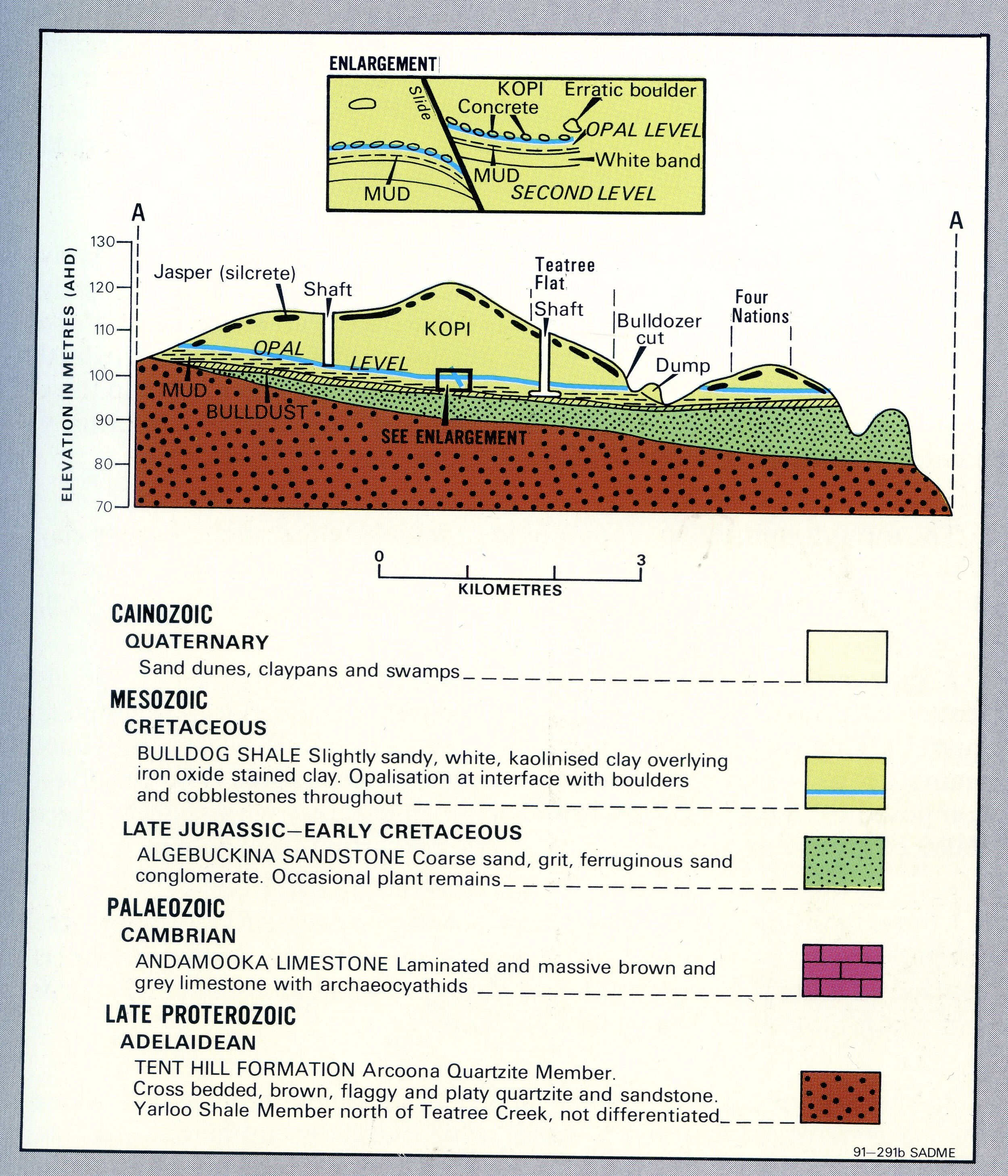
Geological stratigraphy and key for the Andamooka precious stones field.